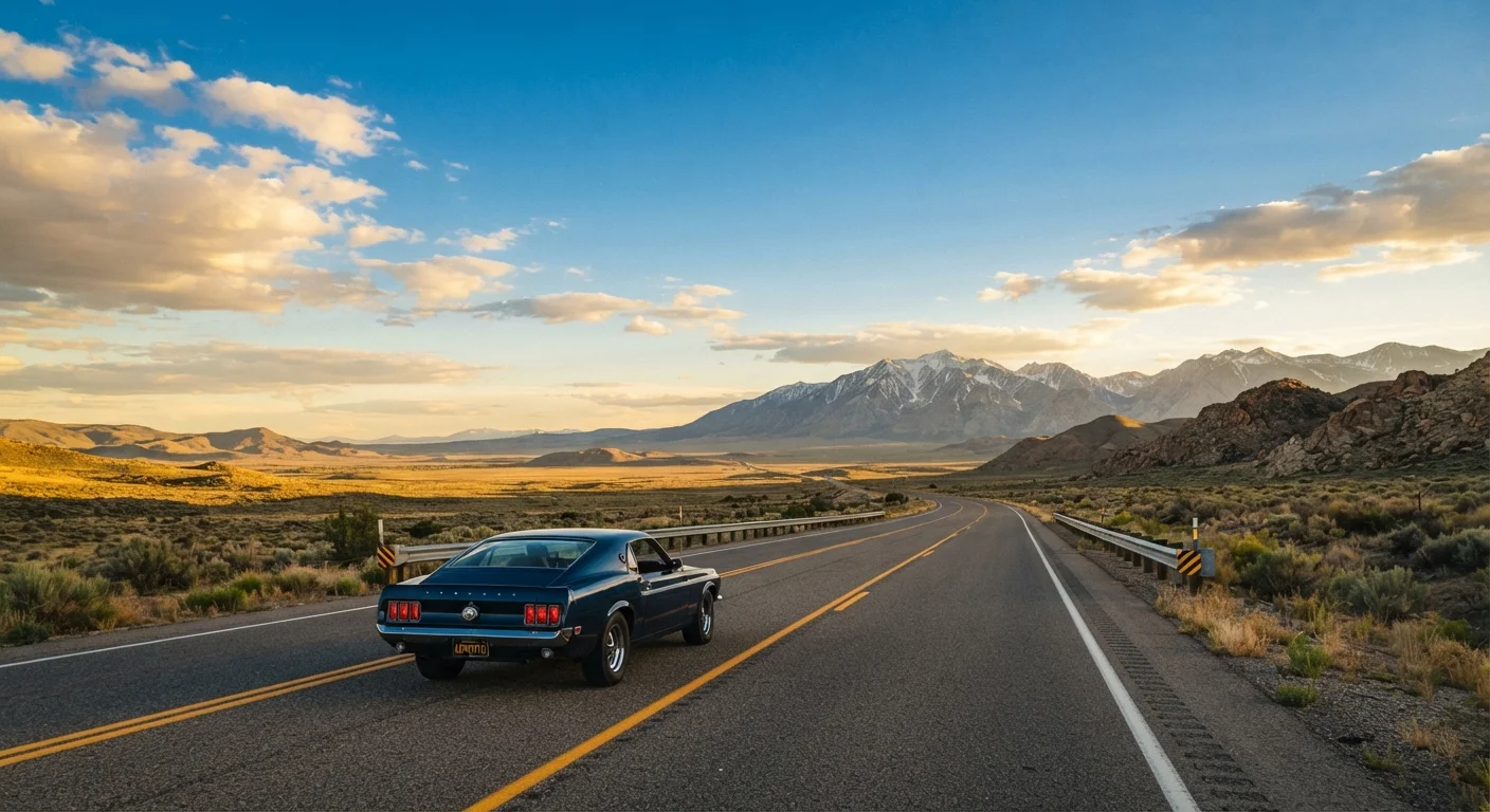
The Two Drives at a Glance
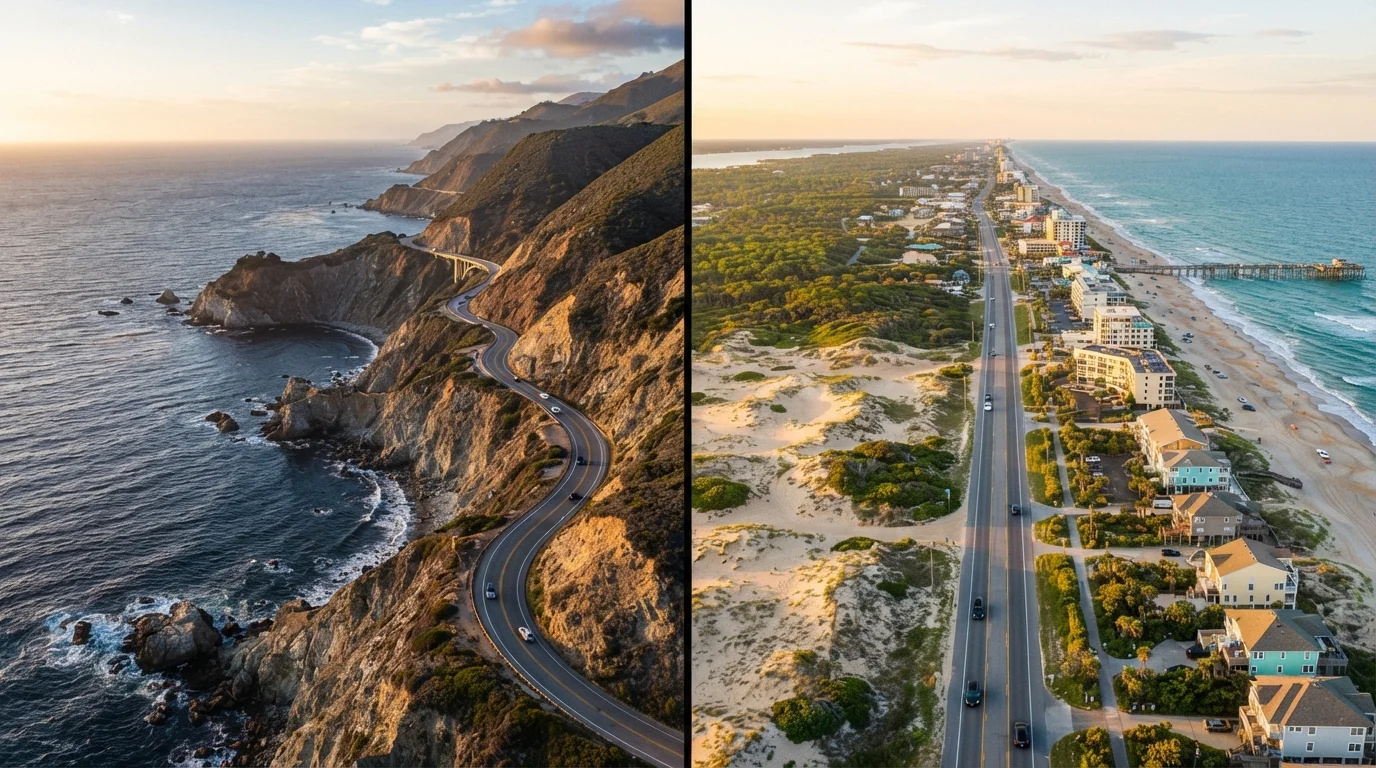
America's coastlines couldn't be more different, and the roads that trace them reflect that contrast vividly. The Pacific Coast Highway (primarily California State Route 1) hugs the rugged western edge of the continent for roughly 650 miles between San Francisco and Los Angeles, threading between towering sea cliffs and crashing surf. The Atlantic Shore Drive isn't a single road - it's a loose collection of coastal routes, from U.S. Route 1 in Maine to A1A in Florida, stitching together more than 1,500 miles of barrier beaches, marshlands, and historic port towns.
If you're still weighing whether a road trip is even the right call for your journey, see our road trip vs. flying guide before committing. And if you're building out a larger cross-country adventure, the American road trip planning guide covers the full strategic picture.
| Pacific Coast Highway | Atlantic Shore Drive | |
|---|---|---|
| Total distance (core route) | ~650 miles (CA) | 1,500+ miles (ME to FL) |
| Scenery type | Dramatic cliffs, wild coastline | Beaches, marshes, historic towns |
| Cultural highlights | Bohemian towns, surf culture, wine country | Colonial history, seafood culture, boardwalk towns |
| Best travel season | Spring and fall | Late spring and early fall |
| Route complexity | One main highway, manageable | Multiple roads, requires planning |
| Disruption risks | Mudslides, fog, wildfire closures | Hurricanes, summer beach traffic |
| Typical trip length | 1-2 weeks for full California stretch | Modular; 3-4 days to 3+ weeks |
Scenery and Character
The PCH is relentlessly cinematic. Big Sur alone - the 90-mile stretch between Carmel and San Simeon - piles on sea stacks, redwood canyons, and the famous Bixby Creek Bridge in rapid succession. The road often perches directly on cliff edges, leaving little buffer between the asphalt and open Pacific. Wildlife sightings (elephant seals at Piedras Blancas, migrating whales offshore) come almost by accident.
The Atlantic Shore offers a different kind of beauty - quieter and more layered. Maine's rocky headlands near Acadia National Park have their own austere grandeur. The Outer Banks in North Carolina present wild, wide beaches barely touched by development. Heading south, the Georgia Sea Islands and Florida's Space Coast bring subtropical energy and ecological diversity. The Atlantic route rewards curiosity: duck into a chowder shack in Rockport, walk the boardwalk in Asbury Park, or catch a sunrise over Cape Hatteras Lighthouse.
Build in Unplanned Time
The most memorable moments on either coast tend to happen off the itinerary - an unexpected overlook, a roadside clam shack, a state beach with no crowd. Leave at least one unscheduled half-day per three days of driving. Coastal road trips reward spontaneity more than almost any other trip format.
Logistics, Distance, and Pacing
The PCH's concentrated length makes it achievable as a focused one-to-two-week trip. Most drivers plan three to five days for the California segment alone, building in stops at Muir Beach, Pfeiffer Beach, and Morro Bay. The road narrows significantly through Big Sur, and seasonal closures due to mudslides or wildfires can redirect your route with little notice - always check Caltrans road conditions before departing.
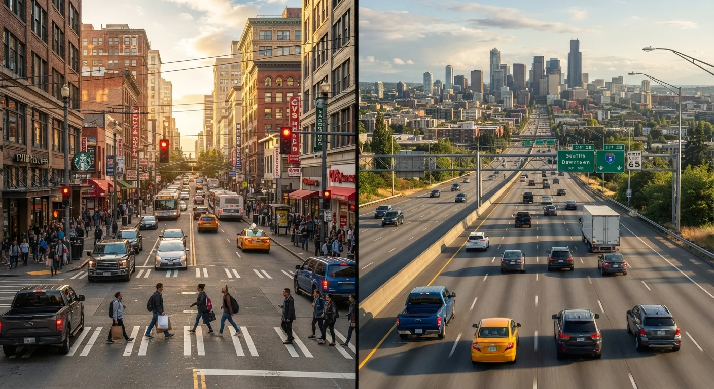
The Atlantic Shore is inherently more modular. You can drive just the New England coast, or string together mid-Atlantic states, or focus entirely on the Carolinas. This flexibility makes it forgiving for travelers who want to extend a stay or skip a stretch. That said, crossing major metro areas - Boston, New York, Baltimore - introduces real traffic friction. Timing your drives to avoid rush hours or commuter corridors pays dividends. For tips on navigating those transitions between open highway and urban streets, our highway vs. city driving guide is worth a look.
650 mi
PCH core California length
California State Route 1 runs approximately 650 miles along the Pacific Coast, with the most celebrated segment through Big Sur.
1,500+
Miles of Atlantic coastal routes
The Atlantic coastline from Maine to Florida spans over 1,500 miles of driveable coastal highway across more than a dozen states.
30+
National and state parks along the Atlantic Shore
The Eastern Seaboard corridor includes dozens of protected coastal areas, from Acadia in Maine to Everglades National Park in Florida.
Seasonal Considerations and Planning Tips
The PCH peaks in spring (April-May) and fall (September-October), when fog is manageable and summer crowds have thinned. Summer is perfectly enjoyable but expect heavy traffic around Carmel, Santa Barbara, and Malibu. Winter brings fog and occasional closure risk but also emptier pullouts and dramatically moody skies.
On the Atlantic, summer is the dominant season - from Maine lobster rolls in July to Virginia Beach in August - but it also brings peak prices and packed beaches. Shoulder seasons (May and September) offer better availability and milder weather across most of the mid-Atlantic and New England. Florida's Gulf-adjacent stretches (though the Gulf Coast itself is a separate story - explored in our Gulf Coast guide) run hottest June through September. Hurricane season (June-November) is a real variable along the southeastern Atlantic seaboard; monitor forecasts and keep flexibility in your itinerary.
Whichever coast calls to you, it helps to know your travel style first - see city break vs. nature escape to clarify your priorities before booking anything.