The West Looks Manageable on a Map - It Isn't
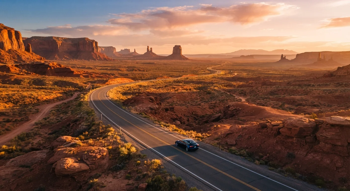
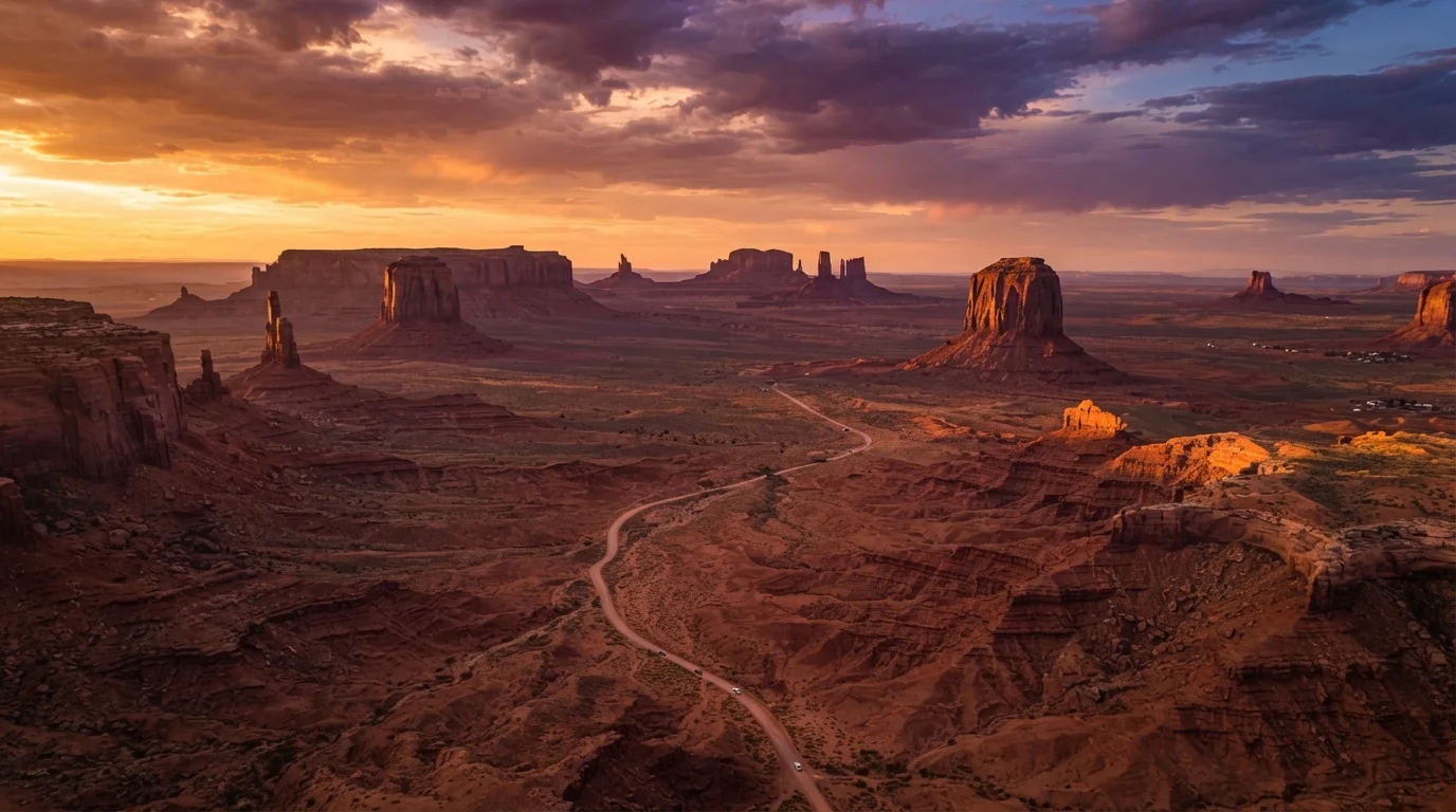
Pull up almost any map of the American West and it looks like a straightforward driving loop: Zion, Bryce, Grand Canyon, Monument Valley - dots connected by neat lines. What maps don't convey is the sheer scale. That "short" drive between two Utah parks might be three hours of winding two-lane highway with no services, minimal cell signal, and weather that changes by the mile.
First-time visitors routinely underestimate how much time driving actually takes. The wide-open spaces that look so inviting in photos translate to long, demanding drives in real life - often on roads that require focused attention, not casual cruising. Planning two parks in a single day is almost always overambitious; planning one and exploring it deeply is almost always more rewarding. Our road trip planning guide covers how to map realistic daily mileage before you go.
Myth
I can drive between two major national parks in the same afternoon - they look close on the map.
Fact
In the American West, distances between parks routinely translate to three to five hours of driving on challenging roads, not the quick hops maps suggest.
Map scale in the West is notoriously deceptive. A two-inch gap between parks on a road atlas might represent 200 miles of highway, mountain pass, or unpaved road. Factor in stops, slower speeds on scenic byways, and the time needed to actually experience each destination, and a "two-park day" becomes a recipe for exhaustion or missed experiences.
Myth
The desert is always hot, so I only need to pack for warm weather.
Fact
High-desert elevations experience dramatic temperature swings - sometimes 40°F or more between day and night - and summer thunderstorms can bring cold, dangerous conditions rapidly.
The Colorado Plateau, the Sierra Nevada foothills, and much of Utah and Arizona sit at elevations where nights can be genuinely cold even in July. Layering is essential year-round. Summer afternoons also bring fierce lightning storms that can appear with very little warning, making open terrain and exposed ridgelines dangerous for anyone caught unprepared.
Myth
National parks in the West are open and free to explore any time - just drive up.
Fact
Many of the most popular Western parks and trails now require timed-entry reservations or advance permits that must be secured weeks or months before your visit.
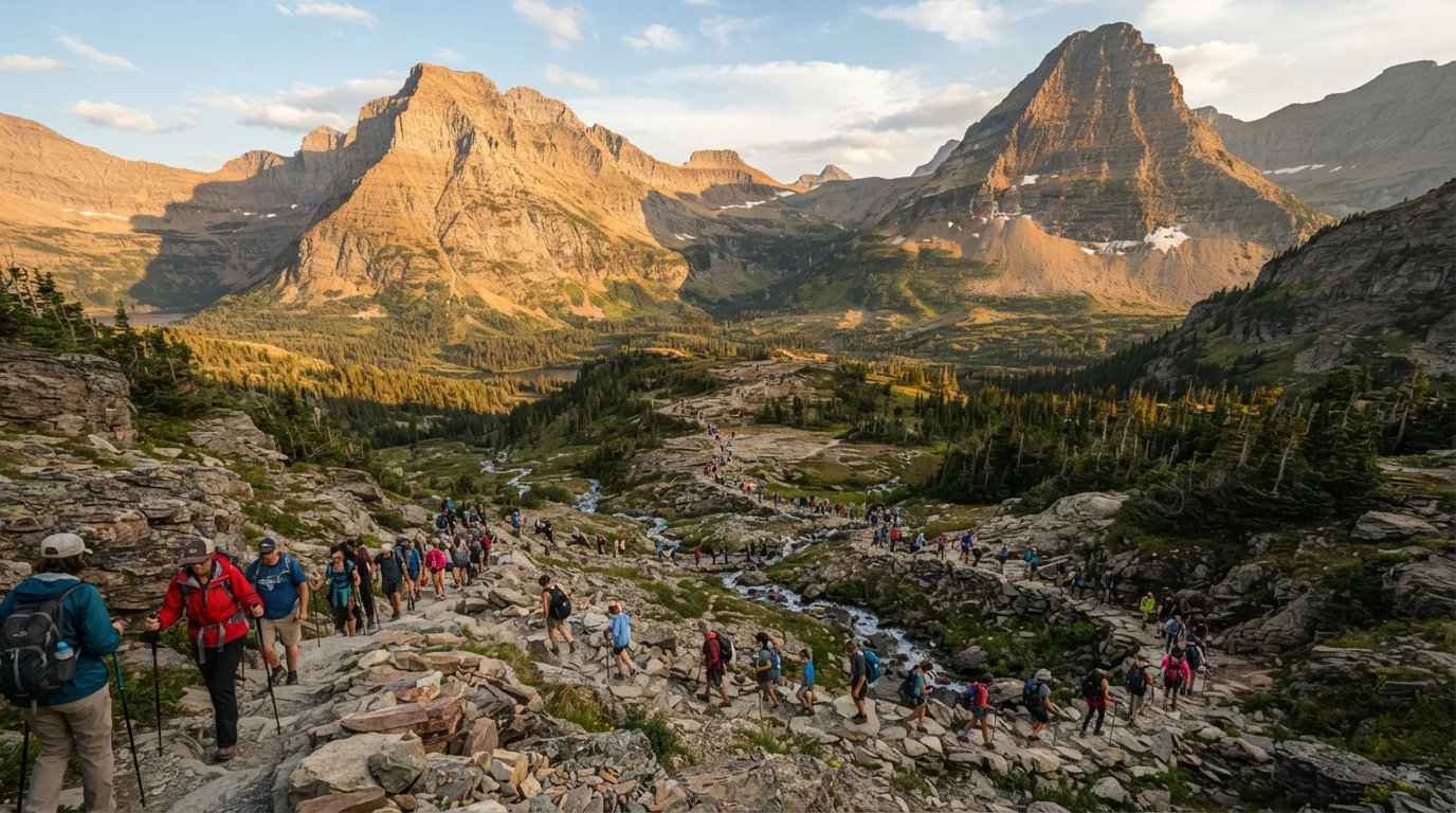
Demand for iconic Western parks has grown substantially in recent decades. In response, the National Park Service has implemented reservation and permit systems at several high-traffic sites to protect both ecosystems and visitor safety. Travelers who arrive expecting walk-up access to trails like Angel's Landing or the Wave may find they cannot legally enter without a permit - so research well in advance.
Myth
Altitude won't affect me - I'm in good shape.
Fact
Physical fitness does not prevent altitude sickness. Even highly fit individuals can experience symptoms above 8,000 feet, especially if they ascend quickly.
Altitude sickness occurs because the body needs time to adjust to reduced oxygen levels at elevation. It has no reliable relationship with athletic ability or general health. Symptoms - headache, nausea, fatigue, dizziness - can appear within hours of arriving at high elevation. Gradual ascent, hydration, and rest are the most commonly recommended mitigation strategies, but anyone with health concerns should speak with a healthcare provider before traveling to high-altitude destinations.
Myth
Cell service and GPS will work everywhere, so I don't need paper maps or offline navigation.
Fact
Vast stretches of the American West have no cell coverage at all. Relying solely on live GPS or cellular data puts travelers at genuine risk in remote areas.
Dead zones in rural Nevada, Utah, Arizona, and Montana are not anomalies - they're the norm across huge portions of the landscape. Travelers have been stranded after following GPS routes onto unmaintained or seasonally closed roads. Download offline maps before you leave towns with reliable service, and consider carrying a physical map of any region you plan to explore off main highways.
Weather, Altitude, and the Risks of Assuming 'Desert = Hot'
The word "desert" conjures images of relentless sun, and summer afternoons in the Southwest can certainly be brutal. But the West's high-elevation deserts and mountain ranges create weather conditions that defy simple categories. Temperatures at the rim of the Grand Canyon can drop 20-30 degrees Fahrenheit from the canyon floor. Summer afternoon thunderstorms roll through with little warning, turning dry creek beds into flash-flood zones within minutes.
Altitude is the other variable that catches travelers off guard. Many Western destinations sit above 7,000 feet - and some popular hikes push well above 10,000. At these elevations, exertion feels harder, dehydration happens faster, and altitude sickness (headache, nausea, fatigue) can sideline even physically fit visitors. The general guidance is to allow 24-48 hours of lighter activity to acclimatize before attempting strenuous hikes, though individual responses vary. Consult a healthcare provider before traveling to high-altitude destinations if you have any cardiovascular or respiratory concerns.
8,000+ ft
Elevation of many popular Western trailheads
Destinations including Rocky Mountain National Park, parts of Zion, and numerous Utah plateaus begin well above sea level, where reduced oxygen affects exertion and hydration.
80+ miles
Typical gap between gas stations in remote Western regions
In portions of rural Nevada, Utah, and Montana, travelers can drive well over an hour between fuel stops - making a full tank a safety essential, not a convenience.
Permits, Crowds, and the Myth of 'Just Showing Up'
For much of the 20th century, showing up at a national park with a park pass and a sense of adventure was all you needed. That era has largely passed for the West's most iconic destinations. Zion's Narrows, permits for the Wave in Arizona, Half Dome in Yosemite, Angel's Landing - many signature experiences now require advance reservations or lottery-based permits that fill up weeks or months ahead of the visit date.
This isn't bureaucratic overreach; it's active land stewardship in response to genuine trail damage and safety incidents caused by overcrowding. The practical implication for first-timers: research permit requirements before you build your itinerary, not after. Check the National Park Service website for current reservation systems and deadlines. Our article on common national park mistakes walks through the permit landscape in detail.
Flash Floods Can Strike Without Rain Overhead
In canyon country, flash floods are triggered by storms miles away - sometimes in mountains you can't see from the canyon floor. Always check weather forecasts for the entire upstream watershed, not just your immediate location. If you see water rising in a slot canyon or wash, move to higher ground immediately without waiting to assess the situation.
Permit Lottery Dates Fill Well in Advance
Some of the most sought-after Western experiences - including the Coyote Buttes North permit (the Wave) and Half Dome cables - operate on lottery systems with entry windows that open months before the travel date. Building your itinerary around an unpermitted assumption can derail an entire trip. Always confirm current permit requirements on the relevant land management agency's official website.
Remoteness Is Real - and It Requires Preparation
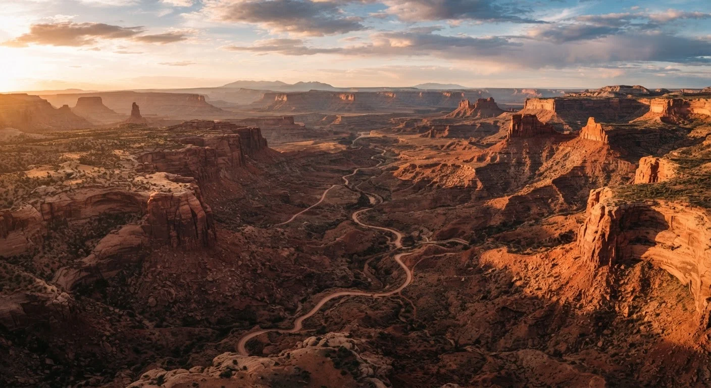
The romantic idea of driving into the wilderness with minimal planning works in movies; in the real West, it creates emergencies. Gas stations in rural Nevada or eastern Utah can be 80 or more miles apart. Cell service disappears for stretches. The nearest hospital might be two hours away. Visitors who assume roadside assistance is a phone call away sometimes discover there's no signal to make that call.
A few practical habits make an enormous difference: carry more water than you think you'll need (a common recommendation is a liter per hour of active outdoor time, though individual needs vary), keep the gas tank topped off when you can, download offline maps before entering remote areas, and let someone know your itinerary. The West rewards those who respect its scale - and the Southwest's singular beauty is absolutely worth the preparation it demands. If you're curious about how Western domestic travel compares to heading abroad, our first international trip guide offers useful perspective on a different kind of 'unfamiliar.'